Presentation by Chantal Prevot, Librarian at the Fondation Napoléon.
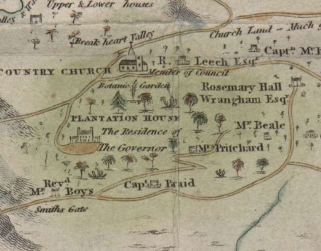
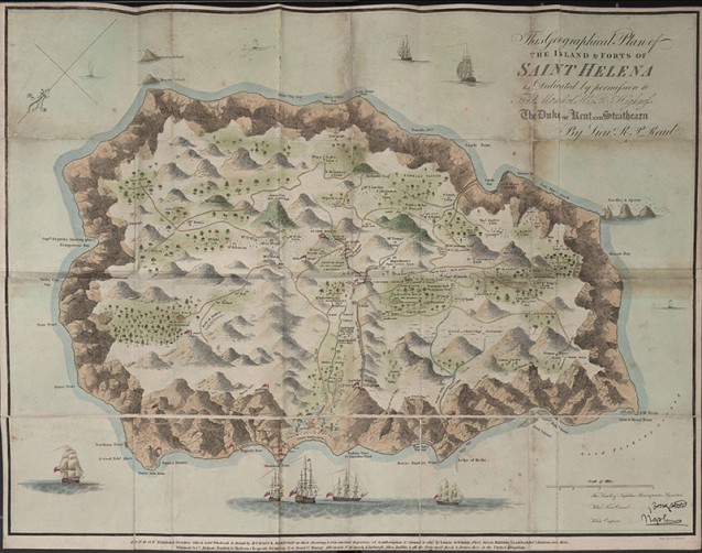
Aesthetically somewhere between a topographical survey and a landscape drawing, Lieutenant R. P. Read’s plan of St Helena was put up for sale in London at the end of 1815, in response to public demand for information on the “prisoner of Europe”.
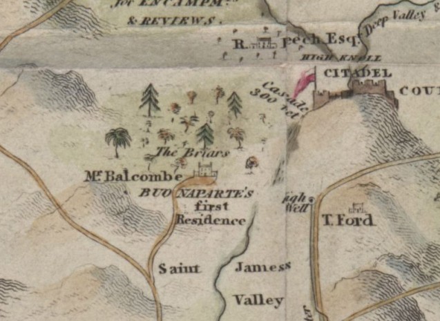
This plan was published in four versions, following the change of residence of “Buonaparte”. The first version placed the residence at Plantation House. This error was rectified in version two, which correctly attributed The Briars as his place of residence (as a guest of the Balcombe family).
When Napoleon had left this first residence, the map was updated for the third time – it is this map that is shown in the accompanying iconography: Longwood House is mentioned as his residence. Then a fourth and final version was drawn up to specify, which had not been specified in previous versions, that the seat of government on the island, Plantation House, was now the “Residence of Sir H. Lowe the Governor”.